
Stanford Campus Mapping Project
The Stanford Geospatial Center, as part of its mission of supporting and enhancing geospatial instruction and research, has created a series of campus web mapping applications that showcase the latest trends in geospatial technology. These interactive maps will serve as a platform for departments and libraries to make their services and resources available in an intuitive and functional way.
Stanford Campus Mapping Project - Map Gallery

Explore new ways to share services and resources on your campus, from events and historical photos to bike racks and 3D modeling scenarios.
Stanford University Librarians Map Tour
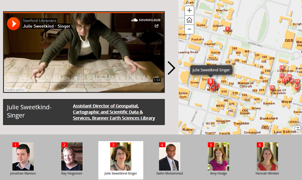
This map illustrates the location of many of the Stanford University Libraries and the librarians within. Listen or watch the interviews with the librarians by clicking on a number or on one of the pictures below.
Historic Photo Map Tour

Tour historic photos of campus using the power of GIS! This map was created by the Stanford Geospatial Center and provides a geographic tour of a subset of the Stanford University Archives historical photo collection.
Campus Events Viewer

The Stanford University Campus Events Viewer allows you to view event information over time. Contact the Stanford Geospatial Center if you want to add your own events.